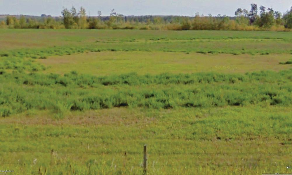
Let us start with a mystery. Inga was raised on a farm near Loon Lake, Sask., west of Meadow Lake in the province’s northwest, so we have visited there many times in summer months. While driving Highway 26 north of Pine Cove nearby, I noticed what looked like peat sloughs. The trusty soil probe proved it was peat.
But why should the peat sloughs be there? It was not that wet. At Pine Cove Resort there are many private wells documented on the Water Security Agency website. A quick check soon produced a flowing well with a head one foot above ground. Several other wells had water levels very near the ground surface. They were all completed in shallow (50-100 feet) intertill sand aquifers.
Read Also

Is the technology in our vehicles a help or a hindrance?
Not only does new tech allow people to operate vehicles and farm machinery with fewer skills, it also creates more problems for vehicle users when those systems fail, Scott Garvey writes.
The problem was solved: the high head from the shallow intertill aquifers maintained a shallow water table, which facilitated the growth of the peat.
The big peat story: the Saskatchewan River delta
My first job after graduation was to help with the soil (peat) survey of the huge Saskatchewan River Delta, south of Cumberland House, Sask. in the province’s northeast, about 80 km west of The Pas, Man. (as the crow flies). The only access was by helicopter. We used peat augers to get foot samples down to the mineral soil. There was as much as 12 feet of peat at some spots. In places, it was so wet we had to work from the pontoons of the helicopter. When they turned off the whirling blades, mosquitoes came at us in clouds. Great sport for a young fella just starting out!

All samples were analyzed in a lab and a detailed map of that area was produced. The report included the results of the many soil analyses. That delta is maintained in part by artesian discharge from deep aquifers and soil salinity is present in many places.

Any reader wishing to learn more can check out this link to find the report and map.
After we completed the sampling by helicopter, it was my conclusion that it would make better moose pasture than farmland. That was the conclusion provided in the report as well, so as far as I know, and it stays undisturbed to this day. There is some peat harvesting, but the area is small and not significant to the overall delta.


Let me close by alerting readers to a coming update column on the topic of “global warming in our neck of the woods.” I now have Swift Current’s complete monthly temperature and precipitation data all the way back to 1886, so I will update graphs made five years ago. The new graphs show some interesting trends.
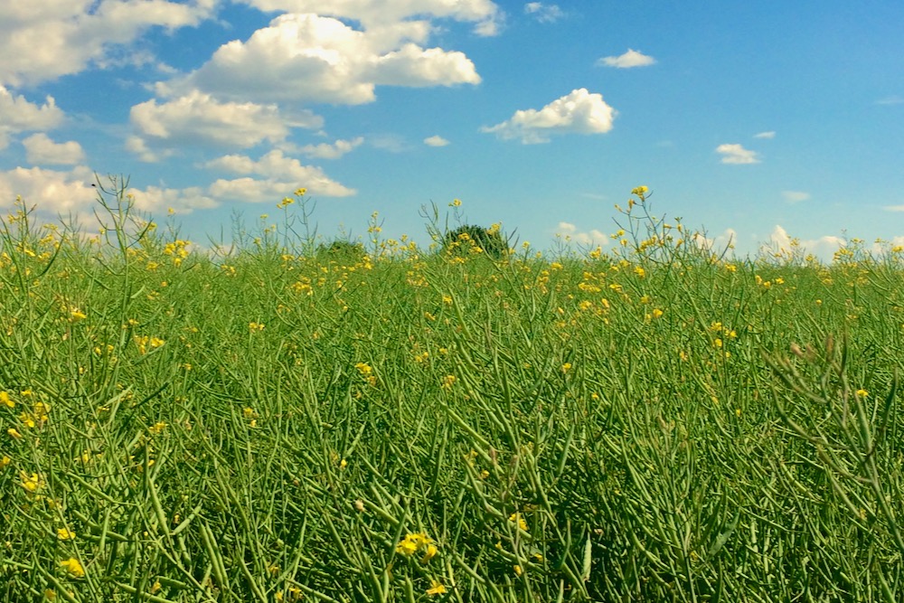
Farming peat land
Where depth of peat is shallow, it is possible to develop it for crop-growing enterprises — but what you see here in the photos is not the way to start out. Much valuable organic matter is lost when peat is burned.


Peat soils are a major storage compartment for carbon on a worldwide basis and Canada has a significant area of peat. In Ireland, peat has been cut out in chunks and used as a heating fuel. Thanks to concerns about the release of that stored carbon into the atmosphere, that is under dispute at this time.