Modelling how landscapes respond to, and recover from, stress could one day help farmers spot when fields are nearing a tipping point.
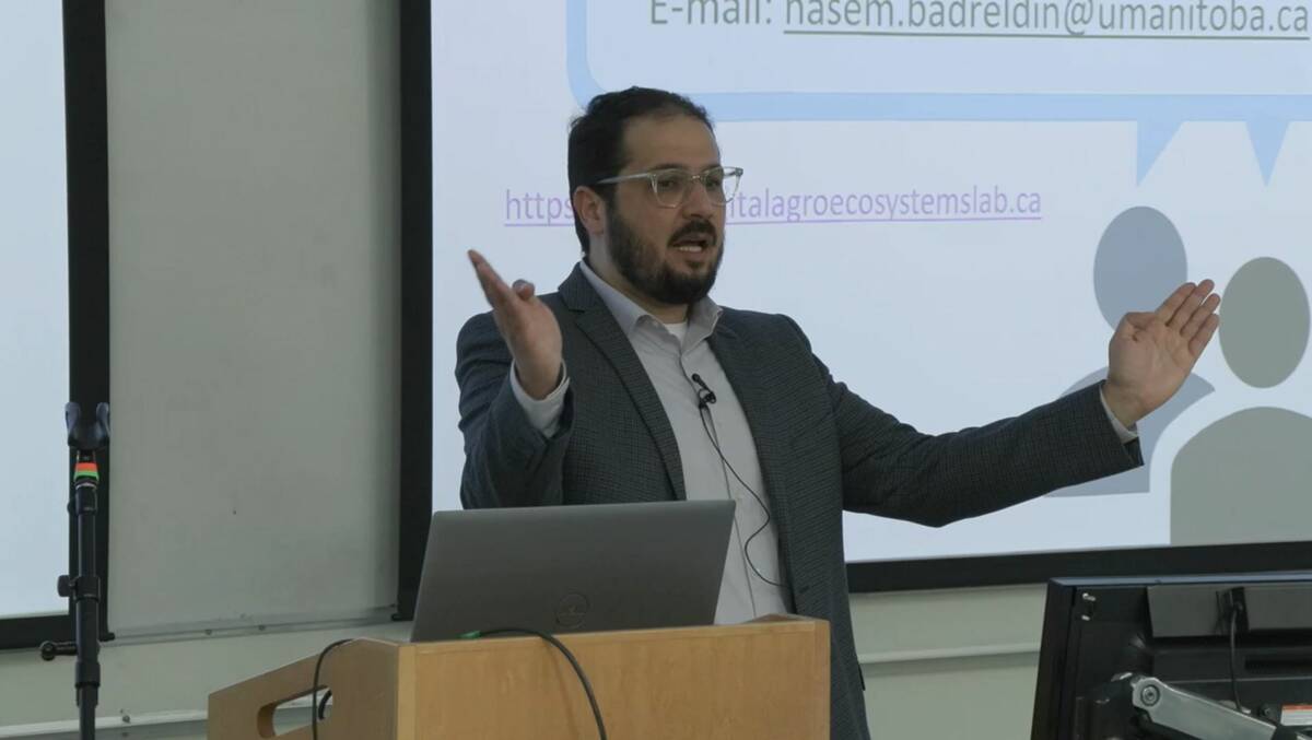
A University of Manitoba soil scientist is using AI and satellite data to explore how Prairie landscapes respond to long-term stress — and how they bounce back.
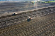
At a recent presentation, Nasem Badreldin, who teaches digital agronomy at the U of M, explained how his team is using simulations to study landscape resilience. The model they built uses 25 years of daily satellite data to show how vegetation and soil systems shift under pressures such as drought, erosion or the loss of organic matter.
Read Also
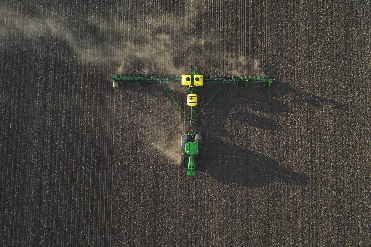
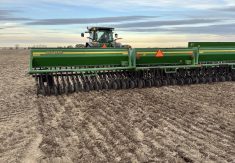
John Deere offers new features, tech for its planters
John Deere offers several new features to its plantersf, allowing for more onboard fertilizer options, better seed placement and residue management.
Landscapes move through zones of stability, recovery, degradation and vulnerability. Over time, repeated stress causes ecosystems to become less predictable and more fragile.
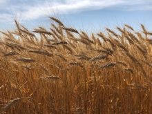
The key, Badreldin says, isn’t just understanding how ecosystems degrade. It’s also about identifying early signs of transition, when a system begins shifting from one state to another. For example, a system might shift from grassland to shrubland or from productive cropland into a degraded state where native vegetation or invasive species take over.
In some cases, there isn’t much of a transition — the changes can be immediate and dramatic, like a landslide or flood wiping out vegetation. These “sudden death” events, as Badreldin calls them, also provide useful information.
The challenge is understanding what’s driving the change. What seems like a drought effect might actually be due to declining soil carbon, resulting in reduced water-holding capacity — less obvious, but potentially more impactful. This gap in clarity is one of the hurdles keeping the research from practical application.
One early tool emerging from Badreldin’s Digital AgroEcosystems Lab is a web app his team informally calls TerraQuest.
Still in early development (version 0.2), the tool was built using Google Earth Engine. It lets users draw a custom area anywhere in North America to access satellite data, including NDVI, leaf area index, precipitation and solar radiation. While it’s currently designed for researchers, a future version could plausibly support on-farm monitoring of changing field conditions.
But to be useful on the ground, models must link cause to effect — and that remains elusive.
“The models up to now can’t catch those two,” Badreldin says. “We are trying to find a way to do that. We don’t yet know how — but we will.” — D.N.