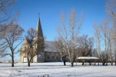
Forecast issued December 10, covering Dec. 10 to 17, 2025.
Highlights
- Alberta can expect a few days of unsettled conditions with widespread cloud cover and scattered flurries.
- For the weekend, Alberta should see cold temperatures before milder conditions return early next week.
- Manitoba and Saskatchewan can expect frigid temperatures towards the weekend before a brief milder period early next week.
Overview
After an active and at times chaotic stretch of weather across the Prairies, the latest model guidance is finally suggesting conditions may calm down slightly through this forecast period.
Read Also
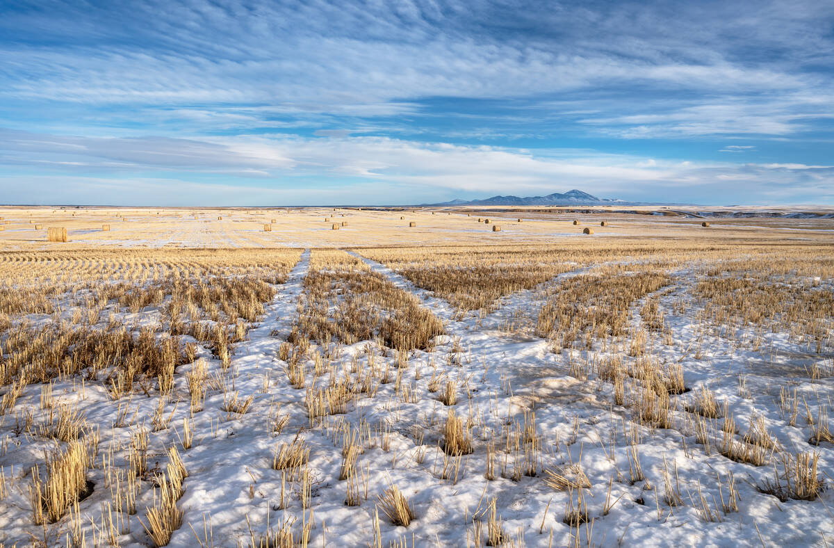
Prairie forecast: Warm start then cooler air to move back in
While spring appears to be gaining a foothold across the western Prairies, it continues to struggle across the eastern regions. This forecast period looks milder than the last, but weather models are still not showing a clear or sustained shift toward a more spring-like pattern.
This doesn’t mean an entirely quiet pattern, but the overall setup looks less aggressive than what we have been dealing with. At the same time, there are some signs — particularly over the western Prairies — of milder air beginning to edge back in as the pattern shifts.
The weather models performed well last week. A series of smaller lows rippled southeastward from Alberta into Saskatchewan and Manitoba. These delivered waves of cloud cover, patches of light snow, and several brief surges of colder air.
Forecasters had also been watching potential for a more organized low to move out of Alberta early this week, which would affect the southern parts of the region. That feature materialized almost exactly as expected. Snow developed Tuesday across southeastern Saskatchewan and southwestern Manitoba, at times becoming heavy enough to create challenging travel conditions. Widespread snowfall amounts generally ranged from 10 to 20 centimetres.
More weather content: Winter precipitation forecast positive news
We begin this forecast window with the departing low and upper trough continuing to slide out of Manitoba. In its wake, a weak but expanding Arctic high is pushing quickly southward and bringing cooler and drier air.
Farther west, another system is expected to push inland off the Pacific before tracking southeast through southern Alberta and eventually slipping south of the border. While not a major storm, this disturbance should bring another couple of unsettled days across the Prairies, featuring variable cloud cover, occasional breaks of sun, and scattered flurries.
By the weekend, a new area of Arctic high pressure will build southeastward across the eastern Prairies, leading to clearer skies but also noticeably colder temperatures. Western areas will likely feel only a short-lived push of cold air before another round of Pacific energy arrives. This time it will take a more northerly track.
That shift in the jet stream will allow milder air to be drawn northward, leading to a brief return to above-average temperatures across much of southern and central Alberta.
Looking ahead to early next week, the energy streaming in from the Pacific is expected to organize into a more potent low that will track across the northern Prairies. Ahead of this system, a developing southerly flow will pull warmer air into Saskatchewan and Manitoba, nudging daytime highs upward into the –3 to –5°C range. While not a dramatic warmup, it will feel noticeably milder compared to the temperatures expected late this week.
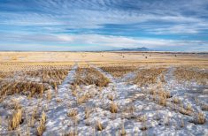
Alberta
Most of Alberta can expect a couple more days of unsettled conditions as a weak, somewhat disorganized system pushes in from southern British Columbia. This disturbance is not expected to be particularly strong, but it will spread widespread cloud cover across the province along with scattered flurries or occasional brief periods of light snow.
While most areas should see only light accumulations, a few localized pockets could pick up 5 to 8 centimetres. By Friday, the low and its associated cloud and precipitation should exit the province as colder Arctic air spills southward. Daytime highs will fall into the –16 to –20°C range, with overnight lows dropping to around –24°C.
Over the weekend, attention shifts back to the Pacific as a strong low moves into the Gulf of Alaska. This system will send pieces of energy inland, which will help to spin up a developing low over northern Alberta by late Monday. As this new system organizes, its counterclockwise circulation will draw milder air northward. Southern regions should see daytime highs near the freezing mark on Monday, while central and northern Alberta climb into the –5 to –8°C range.
Most of the precipitation associated with this low should remain confined to far northern Alberta.
By Tuesday, the low will accelerate northeastward, allowing colder air to settle back into the province. There are also some early indications that yet another system could approach late Wednesday or Thursday. As always at this range, confidence is limited, and as usual we need to keep an eye on it.
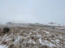
Saskatchewan and Manitoba
The Alberta low that brought significant snowfall to southeastern Saskatchewan and southwestern Manitoba will continue drifting southeastward on Wednesday.
A lingering upper trough will maintain clouds and flurries in southern Manitoba, while Saskatchewan should gradually clear as Arctic high pressure presses southward. This high will usher in some of the coldest temperatures of the season so far, with daytime highs dropping into the –20 to –22°C range and overnight lows near –28°C.
Early next week, a developing northern Prairie low will track eastward, drawing milder air northward ahead of it. This will help moderate temperatures across the southern and central regions of both provinces, with daytime highs climbing back into the –2 to –5°C range.
Unfortunately, the warmup looks brief, as colder air is projected to surge southward behind the system later in the week, re-establishing a chilly pattern.