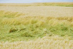

The past few years, growing-season rain on many Canadian Prairie farms has been much less than needed for a good crop. From 2005 to 2014 high snowfall plus much above-average rainfall provided more than enough moisture for crop growth. The excess rain and snow filled the soil and raised the water table by as much as 15 feet in some areas.
Many areas received low rain in 2015, 2017 and 2018 but still grew good crops. Many attributed these good crops to modern farming techniques. Zero till, especially, has been a huge factor as it saves the surface moisture so a crop will germinate and emerge. But, without the soil reserve and high water tables, it would be a different story.
Read Also
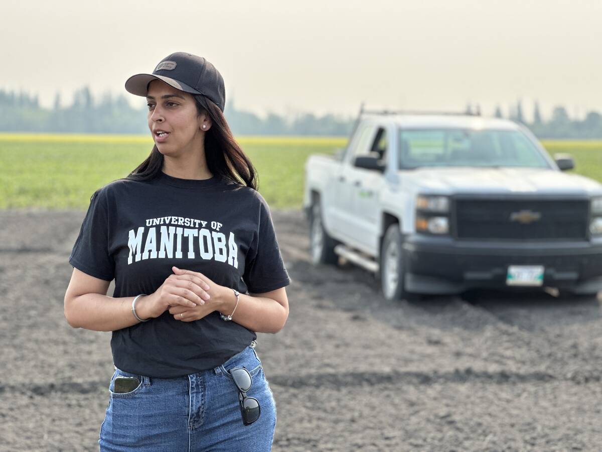
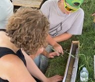
Corn research looks for Manitoba-based weed control
Manitoba corn growers rely on U.S. or Ontario weed control recommendations. University of Manitoba researchers are developing weed control advice with Manitoba field conditions in mind.
With recent dry years, we have seen sloughs dry up and water tables drop. On many pastures, sloughs are a major source of water. This summer I have had requests for information about establishing more wells in pastures for a more consistent water supply.
Searching for water
In many areas there is water in the ground (i.e. the water table) at a depth of 30 feet or less. The water table is the area where all soil pores are filled. The free water will enter a well such that we can extract that water by pumping. If the soil is silt or clay, water will seep to a dug or bored well and a low-yield well is possible.
To make a high-producing well, a search for water is essentially a search for sand layers. The sand layers let water go fast enough to allow pumping at a rate to supply the need.
Bored Wells
Large diameter bored wells (or, in the old days, dug) are used where the water supply is fairly shallow, about 50 feet or less. If the soil is sand over sand over sand to 30 feet or so, a shallow bored well can be high yielding. Even if the land you farm is good medium or heavy soil with a thick saturated sand layer below the soil, a high yield well is possible. Neighbours at my Dundurn farm have installed such wells in recent years with yields of 50 gallons per minute (gpm) or more.
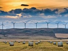
Shallow bored wells provide the possibility of several spaced water sources in a pasture to improve grazing efficiency. Some neighbours have installed solar panels to supply power for a well pump to deliver to a large trough.
But in many situations there is no good sand layer so a seepage-type bored well might supply enough water for the need. Sometimes the well is constructed to a depth of as much as 80 feet, just to provide more “reservoir.” Even a few thin sand layers in the glacial material may be enough to provide a useful supply to a trough.
Drilled wells
Hydraulic rotary drilled wells can be to any depth. Normally a testhole(s) are dug, logged with catch samples and an elog run. The elog provides precise information on the thickness of the potential aquifer and provides information the driller needs to place the screen for maximum yield. Usually a drilled well will provide a consistent supply for many years.
In my experience, most water well contractors are a special kind of people. I have huge respect for farmers and water well drillers. Both must have many technical and management skills, the ability to adapt to what Mother Nature hands them and a generous dose of common sense.
Water well information
To determine the possibilities in your area, the first step is to gather information about existing or historic wells. Information about neighbouring wells is good, but today the number of farms is much fewer than in the past.
For readers in Saskatchewan, the “Grey Books” are a great source of archival information about water wells
Those with a copy of Henry’s Handbook of Soil and Water can check out page 152 for details. Briefly, in 1935, the feds sent out hordes of geologists and students to survey all farm water wells in much of Saskatchewan. The area included all farms from the U.S. border up to the top of Township 32 (just south of Saskatoon). In later years northwest Saskatchewan was surveyed up almost to Meadow Lake. The survey also included parts of Manitoba and Alberta but those were done later and mostly in areas larger than rural municipalities.
In 1935 there was a high density of farms in Saskatchewan so there is a huge database of groundwater, especially for shallow dug and bored wells. The data was published by RM and each RM was provided a paper copy. I am sure almost all have been tossed out. “Who needs that old stuff?” would be the thinking.
But geology does not go out of date so it is still very useful information. Paper copies exist at the University of Saskatchewan library and at the Water Security Agency in Moose Jaw. I have used those at the U of S often.
In the 1980s/90s we used the old and modern well data sources to make water well maps of much of Saskatchewan. Those have been scanned, but so far the Water Security Agency has not posted them.
Now the good news
I have recently discovered that the feds have scanned those old gems and they can be accessed online.
My most recent need was for information in Tp25 R32W1 in the RM of Calder, east of Yorkton Sask. To find that I Google: “Rural Municipality of Calder Water Supply Paper 1936.” The link you’re looking for should come up near the top. For me it is the second Google result, “Downloads — GEOSCAN search results.” Select that link and choose to download the publication.
Just substitute the name of your RM and you should be good to go.
That will give you both a map and report. The map shows 77 wells in Tp25 R32 W1. The report has a detailed description of geology, topography and well types in the Township and the Appendix Tables give detailed data for each well. Most are 40 feet or less deep and many are less than 25 feet deep.
That 1935 survey was completed in one year and all the individual RM reports were published in 1936. All that with no cell phones, email or social media. In today’s bureaucratic world it would take that long to strike the committee to determine if and how it should be done!
Alberta
This Alberta government webpage on water wells presents you with a platform that allows even old fossils like me to have a water well report in no time.
The data also includes seismic shot hole data. There is a 60-foot flowing shot hole just southwest of Youngstown. In our soil salinity days shot hole data was very useful because they went down road ditches and drilled at regular intervals so there was lots of data. If there was any a shallow aquifer that flowed they found it. A flowing shot hole meant that we knew the cause of the soil salinity in the area.
Saskatchewan
For Saskatchewan water well information, visit the Water Security Agency website. The current version works very well and in jig time you will have a PDF that gives all the details for the well(s) you are interested in.
Manitoba
Manitoba has published groundwater availability maps on a map sheet basis and are working on a digital platform at this time.
If you need better water supplies in a pasture a good look at groundwater possibilities might bear fruit and provide a reliable supply through wet years and dry.