Reuters — A U.S. government weather forecaster on Thursday said there are no active El Nino or La Nina patterns and that neutral conditions are likely in the Northern Hemisphere during fall 2017.
However, chances for El Nino remain elevated, between 35 and 50 per cent, relative to the long-term average into the fall, the National Weather Service’s Climate Prediction Center (CPC) said in a monthly forecast.
The last El Nino, a warming of ocean surface temperatures in the eastern and central Pacific that typically occurs every few years, went away in 2016 and was linked to crop damage, fires and flash floods.
Read Also
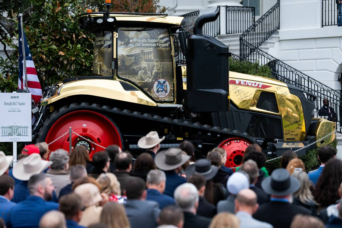
Trump tells farmers that tractor companies should lower prices
U.S. President Donald Trump announced new measures on Friday to support U.S. farmers who are reeling from the administration’s trade policies and the Iran war and suggested farm equipment makers cut prices
The CPC had projected nearly equal chances for neutral or El Nino conditions during the summer and fall in its previous advisory last month.
In Western, northwestern and central Canada, an El Nino event is most often associated with above-normal temperatures and drier conditions during winter and spring.
El Nino doesn’t significantly impact Eastern Canada or the Maritimes, but may reduce tropical cyclone activity in the Atlantic Ocean.
La Nina, during the winter, is often linked to above-average precipitation in British Columbia, Ontario and Quebec and colder-than-normal temperatures on the Prairies, according to Environment Canada.
— Reporting for Reuters by Arpan Varghese in Bangalore. Includes files from AGCanada.com Network staff.