Manitoba is expecting normal to above-normal spring runoff except in the Souris River basin, which is looking at “above normal to well-above normal runoff potential.”
Levels of spring flooding still depend on future weather conditions, Infrastructure Minister Blaine Pedersen said Friday in the province’s March flood outlook, but the risk of overland flooding is “slightly reduced” from the February outlook.
Flooding risk, he said, remains “moderate to major” across the province.
“At this time, the Souris River basin continues to be of concern while favourable weather conditions have eased expected flows in the Red River Basin,” he said, so the chance is low of closing Highway 75, the principal highway from Winnipeg to the U.S.
Read Also
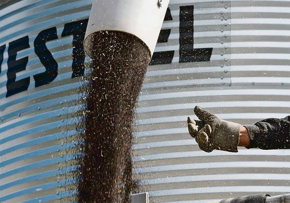
February canola crush up from 2025, StatCan reports
More canola was crushed in February than a year ago, Statistics Canada reported on March 31. StatCan pegged last month’s domestic crush at 951,353 tonnes, up about 7.8 per cent from February 2025.
Right now, the province said, it’s anticipated the province’s major flood infrastructure, including the Red River Floodway and the Portage Diversion, would be activated under unfavourable weather conditions.
The province on Wednesday announced it’s increasing outflow from the Shellmouth Reservoir, a flood control structure on the Assiniboine River at the Saskatchewan border, to 600 cubic feet per second.
More increases in outflow on the Shellmouth are expected over the next few days to maintain storage in the reservoir for anticipated spring runoff, the province said.
With “unfavourable” weather, the province said, the outlook suggests “major” risk on watersheds in the southwestern region; “moderate to major” risk on the Pembina, Roseau River and Assiniboine Rivers; “major” risk in the eastern region and on the Winnipeg River; “moderate” risk in the Interlake region and on the Red and Fisher rivers; and moderate risk in northern Manitoba, around The Pas regions and on the Saskatchewan, Carrot and Swan rivers.
Pedersen, after a municipal tour of potentially affected areas in the southwest, said the province is planning for flooding based on unfavourable weather conditions and the scenario of highest flood risk.
The province said it plans to provide daily flood information to municipalities once runoff begins, to “fine tune” flood preparations. — AGCanada.com Network