
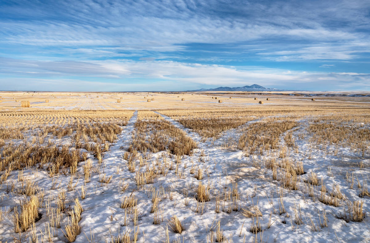
MarketsFarm — Manitoba’s Hydrologic Forecast Centre (HFC) released an initial spring flood outlook report Friday citing the risk of moderate to major flooding in most the province’s southern basins.
Transportation and Infrastructure Minister Doyle Piwniuk said the amount of flooding will depend on weather conditions from now until spring melt.
The HFC advised that, while there is a risk of major flooding along the Red River and its tributaries, including the Roseau, Rat and Pembina rivers, water levels are expected to remain below community flood protection levels at all locations.
Read Also
Prairie forecast: Warm start then cooler air to move back in
While spring appears to be gaining a foothold across the western Prairies, it continues to struggle across the eastern regions. This forecast period looks milder than the last, but weather models are still not showing a clear or sustained shift toward a more spring-like pattern.
There’s also a risk of moderate flooding for most other southern Manitoba basins, including the Assiniboine and Souris rivers and the Whiteshell lakes area, the centre said, while the risk of spring flooding is low for the Interlake region and northern Manitoba regions.
The HFC also said the operation of the Red River Floodway is expected this spring in order to reduce water levels within Winnipeg — and some operation of the Portage Diversion is anticipated to prevent ice jamming on the Assiniboine River.
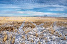
Prior to this winter, normal to below-normal summer and fall precipitation resulted in a below-normal soil moisture freeze-up for most Manitoba basins, according to the HFC. However, snowfall throughout much of Manitoba has been above normal, except for the province’s southwest region which has been near normal.
The centre also noted that soil frost depth has been generally deeper than normal, meaning the soil is likely to absorb less water, and that could contribute to greater amounts of runoff.
The province also said its annual ice-cutting program got underway Friday — the main portion being a 28-kilometre long by 100-metre wide stretch on the Red, from Selkirk northward to Netley Marsh. The cutting helps to reduce the chances of ice jams between Selkirk and Lake Winnipeg.
Other cutting sites will be along the Icelandic River at Riverton and at the outlet of the Portage Diversion.