
MarketsFarm — The Prairie weather outlook for the rest of February is likely to remain below normal, according to Scott Kehler, chief scientist for Weatherlogics in Winnipeg.
“[But] not as cold as it has been for most of the winter,” he added.
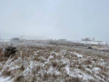
Much of January and February have been highlighted by temperatures well below normal. On top of that, wind chills on numerous days made it feel like -30 C or colder.
Kehler said he expects March to be warmer than the last couple of months, but with daytime highs still slightly below normal.
Read Also

Get farmers in on federal water security strategy planning, CFA says
Farmers should be involved in the development of a Canadian fresh water security strategy, the Canadian Federation of Agriculture says.
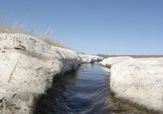
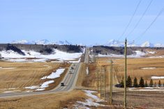
As for the snowpack on the Prairies, he said it’s likely to remain in place for the next few weeks at the very least.
“It will depend on the weather pattern. If we suddenly warm up, that snow could begin to melt rather quickly. But if we stay in this colder pattern, we may not see this snow disappear until April,” he said.
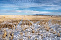
Bruce Burnett, director of markets and weather for MarketsFarm, noted snowfall across the Prairies has varied quite a bit.
A large swath across the region has snowfall close to normal, but there is a large pocket taking up most of the southern half of Alberta that received much less than normal.
In contrast, Burnett pointed to numerous small pockets of above-normal snowfall — Winnipeg and the surrounding area being one of them. Other locales with more snow than usual can be found well north of Saskatoon and Edmonton.
— Glen Hallick reports for MarketsFarm from Winnipeg.