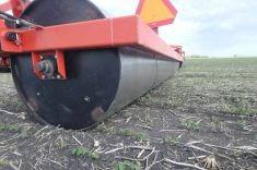
The software and technologies of precision agriculture have changed immensely since early yield monitors were first introduced.
More and more tools are now available to cash crop growers to form data sets that help break fields into zones that allow for targeting of inputs and crop varieties specifically to those zones, says Doug Aspinall, a recently retired senior soil scientist with the Ontario Ministry of Agriculture, Food and Rural Affairs who now works with Woodrill Farms in the Guelph area.
Aspinall teamed up with grower Ryan Marshall, who farms near Milton just west of Toronto, at the Southwest Agricultural Conference to highlight some of those tools and data sets and how Marshall is putting them into practice in his operation.
Read Also
White mould control requires flexible timing under Prairie conditions
Fungicide timing for white mould depends on canopy development, disease risk and number of planned applications, North Dakota pathologist Michael Wunsch told growers at CropConnect 2026.
Elevation data can be sourced from LIDAR (light detection and ranging) or RTK GPS (Global Positioning Sytems). LIDAR is a remote sensing method used to examine the surface of the earth, usually from airplanes or helicopters. Although some LIDAR data is publicly available in some provinces, it’s not generally widespread, Aspinall said, and it is expensive.
RTK stands for Real Time Kinematic. The RTK technique can deliver more precise positioning than what is available in a standard GPS, and can let you see every depression in your field. Source-specific multicast (SSM) software will generate digital maps.
Yield mapping software is available to allow you to produce yield maps using multi-year yield data, for example, and can indicate which areas of a field traditionally yield high and which ones always yield below average.
“The relationship of yield and topography gives us a curvature and yield index,” explained Aspinall. “In bowl-shaped or concave areas we see above average yields and in convex areas like knolls, we see low yields, which says to me we can use elevation maps to divvy up a field.”
Electrical conductivity and electromagnetic soil sensing technology can provide insight into soil conditions, but according to Aspinall, although this has a lot of promise, more work is needed to ensure it is providing information of value to growers.
Google Earth imagery of fields and detailed soil map information, as well as a grower’s historical knowledge of the land can also play important roles in zone development.
Marshall’s field trial
Conventional soil maps alone aren’t precise enough for precision agriculture, said Marshall, who has been working to source better information for his farm.
“We’re trying to make better decisions on variety placement, and the power of yield and topography is precision ag, that’s what we need to make precision ag work,” he believes.
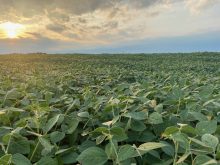
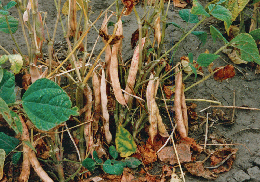
The goal of his field trial was to look at the effectiveness of using combinations of soybean hybrids and populations to optimize yield variations linked to differences in soil and topography.
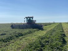
Marshall used a Google Map image from 2009 of a 38 acre tiled field north west of Toronto to segment the field into knolls (convex areas) and depressions (concave), and then uploaded the data to the planting tractor computer.
Depressions or concave areas were planted first with PS2082 NR2 variety at 125,000 and 150,000 plants per acre (ppa), followed by the knolls or convex areas, where Marshall planted 28-60RY at 150,000 and 175,000 ppa. The varieties were chosen for their rooting and canopy development in relation to the disease and drought risks on the landscape being planted.
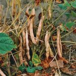
Disease risk from white mould and drought stress did affect yield, he reported, but overall there wasn’t a lot of variability in the results.
“Matching the convex and concave blips to blips in yield — there’s a lot of gravy there if we can make that work,” he said. “This makes us look differently at our fields; we can good and bad land in the same field.”
Lilian Shaer is a professional farm and food writers based in Guelph, Ontario. Follow her blog at foodandfarmingcanada.com.