I don’t know if I should laugh, smile, or cry about this forecast period. If you like the warm dry weather most regions of the prairies have been experiencing, then you might just laugh, or at least smile. If you are pining for colder snowy weather, then I think you might have to cry.
Before we warm up to this week’s forecast, I think I need to clarify one thing. While we call this a forecast, I really look at it as a weather outlook. I am looking at the bigger picture of what looks to be happening over the next seven days or so, and I try to use my understanding of the weather and weather models to give you an idea of what will happen regardless of what the other forecasters are saying. I will occasionally do an update if I see a major change in the weather, but for short term changes in the weather due to storm systems, I will leave that to Environment Canada or which ever weather service you use. That type of information can be life critical so best leave it to them.
Read Also
Prairie forecast: Warm start then cooler air to move back in
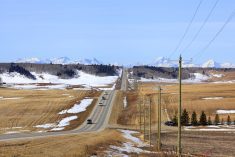
While spring appears to be gaining a foothold across the western Prairies, it continues to struggle across the eastern regions. This forecast period looks milder than the last, but weather models are still not showing a clear or sustained shift toward a more spring-like pattern.
For this forecast period, I am going to deviate a little bit from the usual format. Since the weather is looking pretty tame, I am not going to create forecasts for each province as there is not much difference between them. Secondly, since this forecast period brings us close the holidays, I will stretch out this forecast right through to Christmas. Just remember, the farther out the forecast or outlooks, the greater the chance that things will change. With that in mind, I must admit, the confidence in this forecast period is pretty high as the weather models have been remarkably consistent–from run-to-run to the longest outlooks.
Here is the big picture: there are two current storm tracks across North America. The first, which is well to our north, is the storm track that would normally be across our region. So far this winter, it has been displaced to our north – one of the reasons we have been dry. The second storm track is well to the south across the southern U.S. This places us under a rather slack flow as we oscillate between pushes of warm and cool air with each passage of low-pressure to our north.
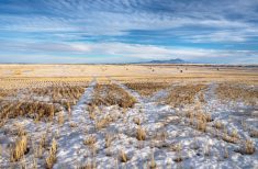
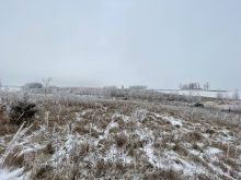
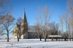
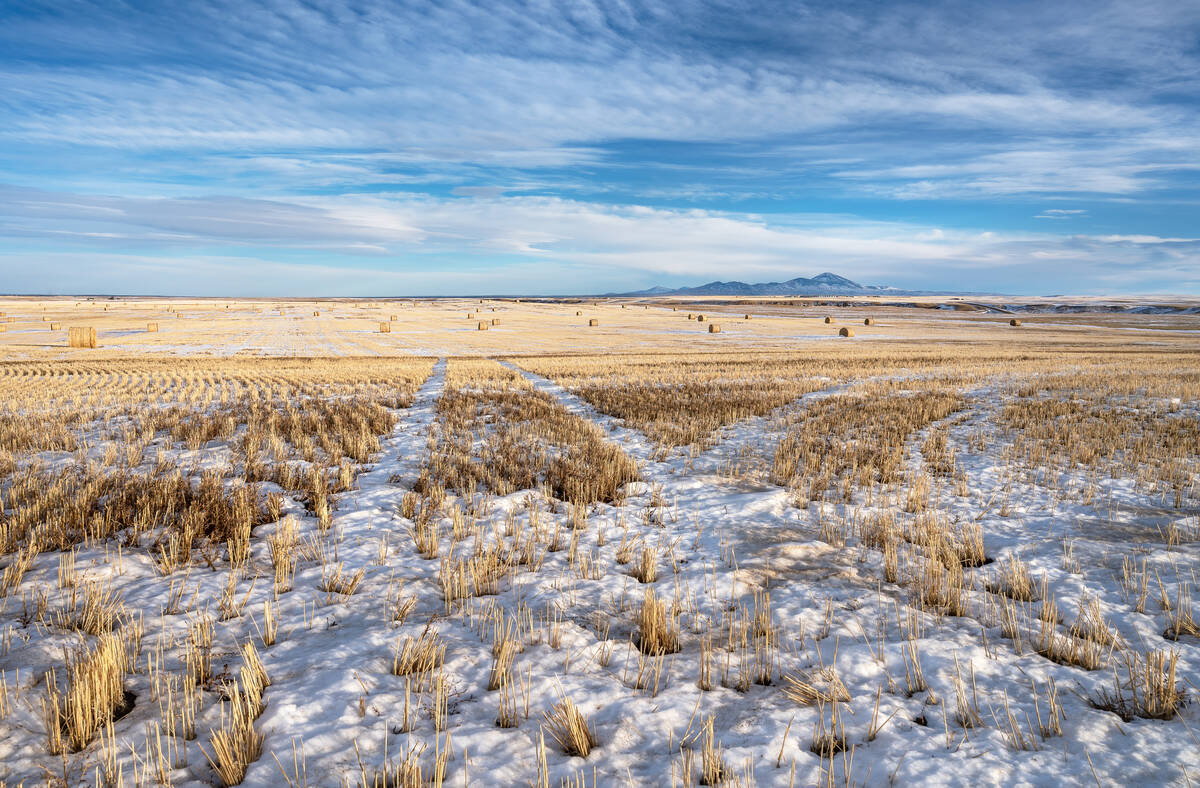
This also means that, for the most part, the prairies will remain dry. The current 14-day snowfall accumulation map shows less than 2 cm of snow falling over any region right through to Christmas. Not good news if you have no snow and are wishing for a white Christmas.
This forecast period starts off with a strong area of low pressure moving across the territories. This low will pull mild air northwards across the prairies with daytime highs rising to above zero across nearly all regions. Slightly cooler air will move southwards behind this low later this week, but temperatures will remain above to well above average across all three prairie provinces.
A second area of low pressure is then forecast to track across the territories over the weekend. This low will once again pull warm air northwards pushing daytime highs over the southern regions to around, or even above, the freezing point by late in the weekend. Temperatures will be a little cooler over northern areas. The tricky part with the temperature forecasts is that areas with snow cover will be colder while snow-free areas will be warmer.
To start the week of December 18th, the weather models are showing a weak pressure pattern across the prairies. No strong areas of high or low pressure are expected to impact our region as the southern storm track tries to become the dominate one. Temperatures will remain on the warm side, with daytime highs continuing to run within a couple of degree of freezing. The warmest readings are in the south and over snow free areas.
The amount of sunshine is tough to forecast under this type of pattern with low-level moisture getting trapped in some areas resulting in cloudy skies. With that said, it looks like most days will see sunny to partly cloudy skies.
As we work towards the holiday weekend, there is some indications from the models that an area of low pressure in the southern storm track may lift northeastwards, impacting southern Manitoba on Christmas Day. This is a long way out, so confidence in this is low but I will keep an eye on it.