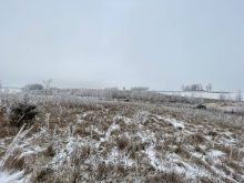
It looks more and more as though our late-October cold snap and snowy conditions were indeed a false start to winter. In the last forecast I mentioned the really cold air looks to be bottled up well to our north, and it was and will be for the next week or two. You can get a feel for how the forecasts are trending by looking back at the previous forecast and what was consistently misforecast: the temperatures. In the last forecast period, temperatures were running a good 3 to 5 C warmer than what the weather models were predicting. There was also more cloud cover than originally forecasted, resulting in much warmer overnight lows. The precipitation forecast was good across much of Alberta and parts of Saskatchewan, but fell apart a little bit — well, a lot — across Manitoba. This was thanks to a couple of pieces of energy that spun off the West Coast low and ended up being a little stronger than anticipated. With the warmer-than-expected temperatures, these lows dropped more rain than snow, with a little freezing rain thrown in for good measure.
Read Also
Prairie forecast: Warm start then cooler air to move back in
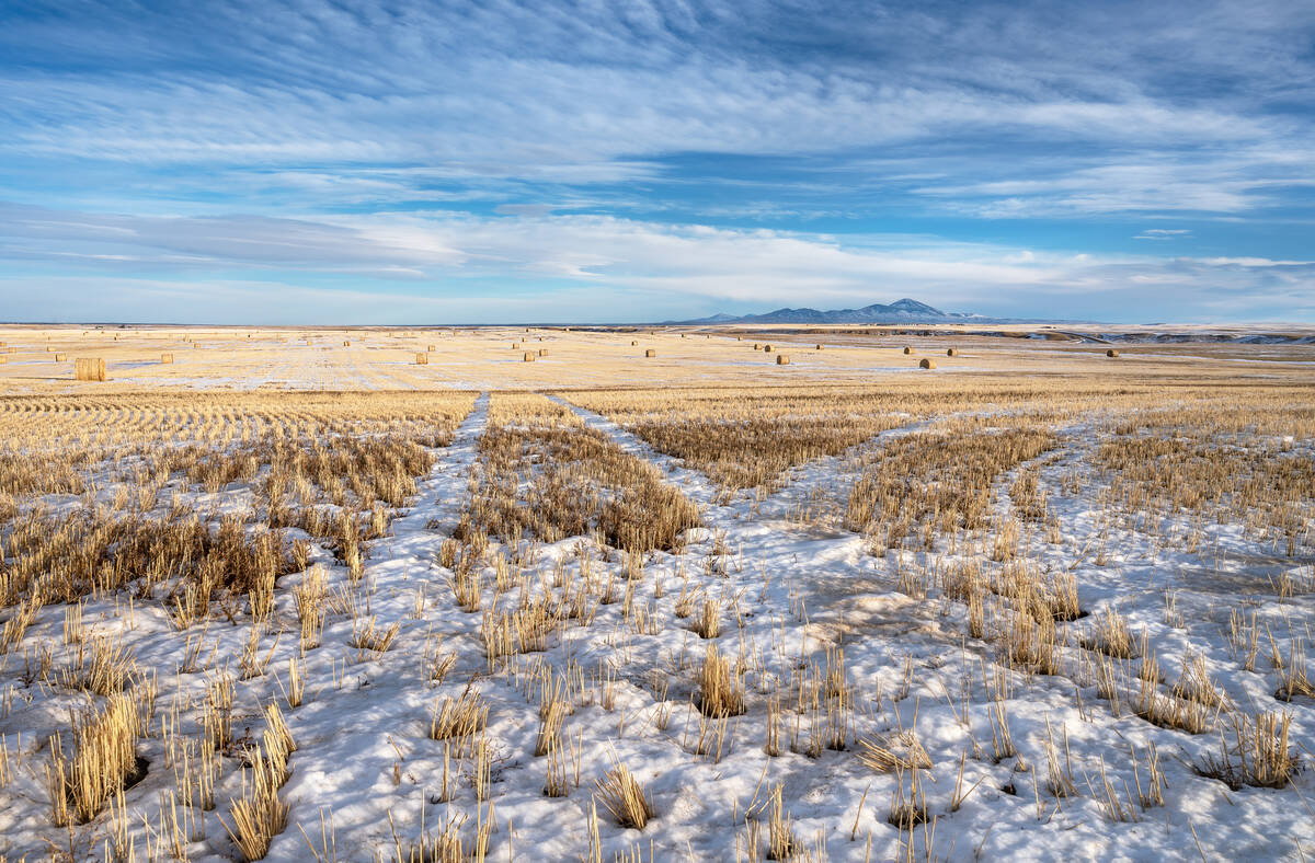
While spring appears to be gaining a foothold across the western Prairies, it continues to struggle across the eastern regions. This forecast period looks milder than the last, but weather models are still not showing a clear or sustained shift toward a more spring-like pattern.
For this forecast period, it looks like the all the energy with the West Coast low will begin to dig a deep trough of low pressure along the coast, with energy from the low dropping down toward California by the week of Nov. 13. Further east, high pressure will dominate and the flow between these two features will result in a predominantly southerly to southwesterly flow across Western Canada. Except for southern Manitoba to start off this forecast, little in the way of precipitation is expected during this forecast period. Temperatures look to be mild, with daytime highs forecast to be running from 4 to 8 C above the long-term averages for this time of the year — maybe even warmer, based on last forecast’s temperatures. As usual for this time of the year, things can change quickly, so watch for updates, but confidence is fairly high with this forecast.
Alberta
Short and simple for this forecast period: expect sunny to partly cloudy skies with only the smallest chance of showers or flurries over far western regions. Temperatures will be very mild with daytime highs pushing toward 10 C by the weekend over southern and central regions, with the Peace River region seeing highs a few degrees cooler. Sunday looks to be the warmest day with temperatures dropping back by 2 to 4 C on Monday or Tuesday. Overnight lows will also be mild staying within a couple of degrees of freezing on most nights.
Saskatchewan
Saskatchewan also has a short simple forecast. It will start off with more clouds than sun on Wednesday and Thursday as clouds rotate around an area of low pressure over northwestern Ontario. By Friday expect sunny to partly cloudy skies to move in and these conditions should continue right through to the end of this forecast period. Daytime highs will start off in the 1 to 3 C range and warm into the 4 to 8 C range by late in the weekend. Overnight lows will be mild with lows ranging from -8 to -2 C. The coldest night will likely be Thursday night into Friday morning, with lows warming toward the 0 C mark by Sunday. Mild and dry conditions look to continue right through to the end of this forecast period.
Manitoba
Manitoba’s forecast starts off a little unsettled as an area of low pressure that brought some brief but heavy snow and some freezing rain to southern and south-central regions on Tuesday slowly moves off into northwestern Ontario by Thursday. This low will bring a mix of rain and snow on Wednesday changing to all snow by Wednesday and evening. Due to the convective nature of precipitation, amounts will vary, with some regions seeing upward of five cm of snow. The counterclockwise flow around the low will push more flurries or periods of light snow into the region on Thursday. Expect temperatures to be seasonable to start, with daytime highs around the 0 C mark and overnight lows only falling off by a few degrees thanks to the cloudy cover.
It looks like most of the clouds will clear out by Friday, bringing a return to sunny to partly cloudy skies for the remainder of this forecast period. Temperatures will warm up with the deep southerly flow developing across the region. Daytime highs are forecasted to push into the 5 to 8 C range by Sunday or Monday, with overnight lows staying within a few degrees of freezing. These mild temperatures will continue right through to the end of this forecast period, with only a slight drop in temperatures expected on Tuesday and Wednesday.