So far, the weather models have been doing a good job with the medium-range forecasts, only falling off late in the forecast period. Of course, in the summer, short-range forecasts can be difficult, especially when it comes to just when and where thunderstorms will develop. I always find it interesting that a forecast could be nearly perfect, but if it said “70 per cent chance of thunderstorms in the evening” and no thunderstorm hits your area, the forecast is suddenly bad. It would be bad if no region saw thunderstorms, but I digress; more on those types of topics in my weather articles.
Read Also
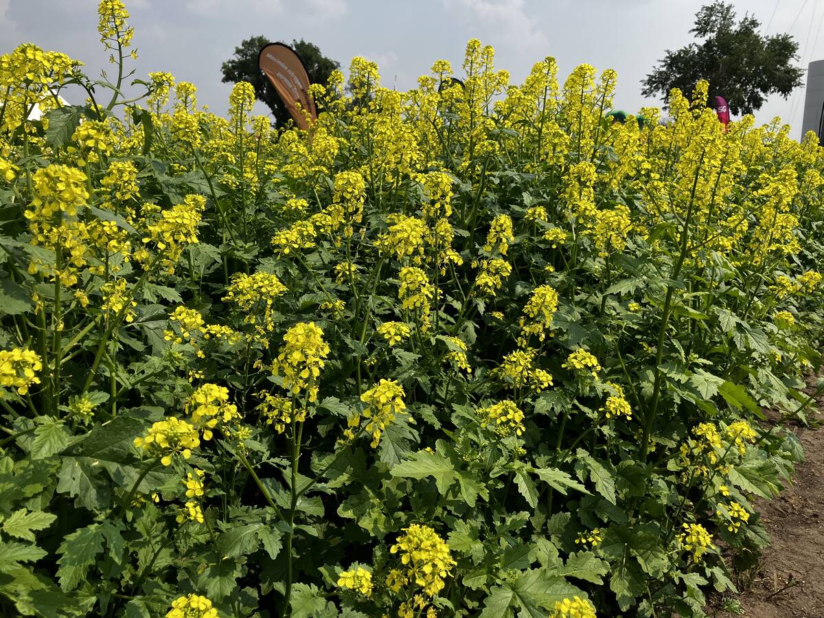
The Canadian GMO mustard wars: Dijon vs canola
GMO mustard plant pits canola innovation against Canada’s condiment exports.
For this forecast period, it looks like we will see a shift in the overall pattern once again — but we have seen this pattern before. The weather models show a series of low-pressure systems developing and impacting Alberta directly as a narrow trough of low pressure digs along the West Coast. Hopefully this trough of low pressure, which will bring clouds, showers and cool temperatures to a large portion of Alberta for a good part of this forecast period, will also help to alleviate some of the forest fire concerns.
To the east, the counterclockwise rotation around the Alberta lows will help to tap into moist warm air once again from the southern and central U.S. After a cool start to this forecast period, thanks to the arctic high pressure that dipped southward earlier this week, we should see temperatures increase over the weekend along with rising dewpoints. Warm temperature and high humidities will then lead to increasing chances of thunderstorms.
Alberta
This forecast period will start off with a large area of low pressure lifting northward into Nunavut by late in the day on Friday. This low will bring showers and some significant rains to western regions before moving off. The weekend does not look too bad as a trough of low pressure digs off the West Coast. This will allow winds to become southerly, pushing temperatures up into the mid-20s for highs. Skies should be sunny to partly cloudy with only a small chance of showers or thundershowers. As the West Coast trough continue to work, or dig its way south, an area of low pressure will develop to the south of Alberta late on Sunday or Monday and then drift northward over next few days. This low will bring plenty of clouds, showers and cool temperatures with daytime highs forecasted to be in the upper teens to low 20s.
Saskatchewan
This region will see much quieter weather, with most of the western energy moving to the north of the province. The Alberta low looks like it will drag a warm front across Saskatchewan on Thursday, which could trigger the odd shower or thundershower but nothing severe looks to be in the offering at this point. Over the weekend, weak high pressure will be in place. This, combined with the increasing southerly flow ahead of the western trough of low pressure, means warm temperatures and increasing humidity. Expect daytime highs to slowly move toward the 30 C mark by Sunday or Monday with dewpoints edging up into the mid- to upper teens. There is a chance of thunderstorms on Tuesday or Wednesday as the Alberta low lifts northward.
Manitoba
Much like Saskatchewan’s forecast, there is a small chance of showers or thundershowers on Friday as the Alberta low lifts northward and drags a warm front across the region. It does not look like we will see any widespread rainfall from this front. Over the weekend, the winds will become southerly, which means warmer temperatures and higher dewpoints. Expect temperatures to slowly warm toward the 30 C mark by Sunday or Monday, with dewpoint possibly making it to around 20 C, which could prompt heat warnings once again by Monday or Tuesday. The heat and humidity will continue into next week before energy ejecting from the Alberta low brings the chance of thundershowers or storms late in this forecast period.
— Daniel Bezte is a teacher by profession with a B.A. (Hon.) in geography, specializing in climatology from the University of Winnipeg. He operates a computerized weather station near Birds Hill Park, Man. Contact him via email with your questions and comments.