Flood forecasts from the U.S. National Weather Service now point to levels well below what’s been expected this spring in Manitoba’s Red River Valley.
The provincial Hydrologic Forecast Centre on Friday said the Red River is “now trending toward a favourable weather scenario, with lower flows on the Red River from Emerson to Winnipeg,” at levels similar to what was seen in 2006.
That said, the melt is expected to accelerate this weekend due to warm temperatures — and still-frozen soil throughout most of the province will limit the ability of the ground to absorb runoff, the province said. Small tributaries and drains are expected to see “rapid” increases in water levels that could cause ice jams and overtop some road crossings.
Read Also
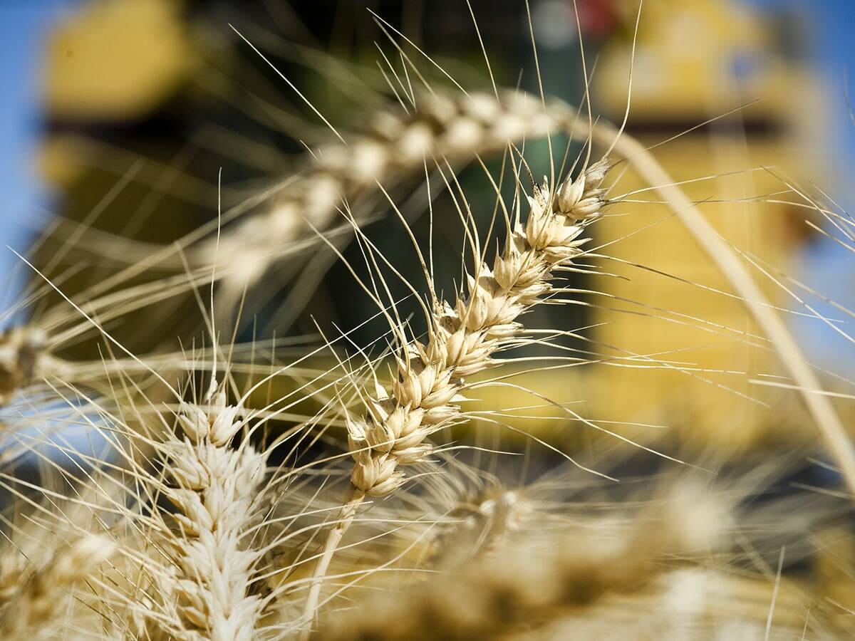
Wheat breeding system no longer works, Canadian Wheat Research Coalition report says
A Canadian Wheat Research Coalition report, published Feb. 26, says the status quo is not an option for Canada’s wheat breeding system. It must be transformed, by farmers.
Major Manitoba rivers such as the Red, Qu’Appelle and upper Assiniboine have areas of open water, but “there are reaches in which strong ice is still in place,” the province said.
Under the “favourable weather scenario” now forecast, the Red may crest at the Manitoba border as early as the second week of May, and in Winnipeg during the third week of the month. However, the province cautioned, the upper-end forecasts may still apply if the region sees “significant” precipitation during the next week.
“Localized” flooding is still expected to occur in tributaries such as the LaSalle, Roseau, Rat and Morris rivers.
Levels north of Winnipeg are likely to be well below 2011 levels, the province said.
Projections for other Manitoba watersheds such as the Souris, Qu’Appelle, Assiniboine, Saskatchewan and Fisher rivers remains unchanged from the April 10 flood outlook, the province said.
Runoff has not yet started in most areas in Saskatchewan, that province’s Water Security Agency said in an update Wednesday, noting melt is “moving very slowly eastward from the southwest.”
Looking ahead in Saskatchewan’s spring runoff outlook, its Rafferty, Boundary and Alameda reservoirs have “reached their target levels” and flows have been reduced over the past week, the WSA said Wednesday.
Related story:
Manitoba now trending toward 2009-scale flooding, March 27, 2013