CNS Canada — Temperatures are expected to continue to be colder than normal for much of agricultural Western Canada this week.
A smaller disturbance will be moving through Alberta and into parts of western and southern Saskatchewan, according to Drew Lerner of World Weather Inc. in Kansas City.
“It will be kind of similar to last week only the system will be a lot less aggressive; there will be a lot less precipitation associated with it,” Lerner said Monday. “So the bottom line is we’ll probably see below-average precipitation across the region and temperatures are going to be colder than normal.
Read Also
Alberta Crop Report: Harvest more than three-quarters finished
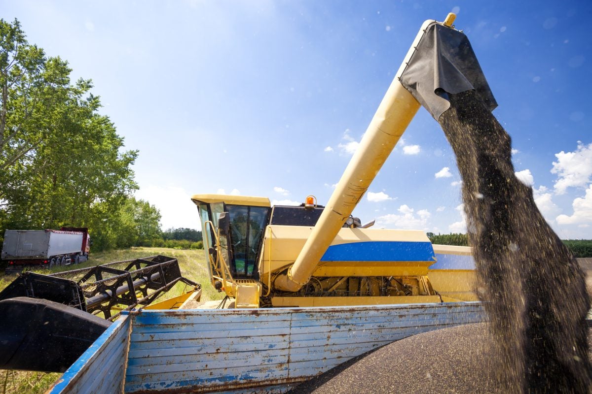
Alberta’s provincial harvest as of Sept. 23, 2025 was 78 per cent complete, said the province’s weekly crop report.
“There will be two rounds of cool air expected to move across the region during the week, so we won’t see a real significant warming until maybe the weekend and at that time it will probably do a better job of warming up and getting away from some of the coldest conditions.”
The majority of the precipitation will occur Monday and Tuesday in almost all of Alberta. A large region of agricultural Saskatchewan will be impacted as well.
“It still looks like southern Manitoba will miss a large part of the precipitation again,” added Lerner. “And most of the snow will be light accumulations across those areas.”
— Marney Blunt writes for Commodity News Service Canada, a Winnipeg company specializing in grain and commodity market reporting.


